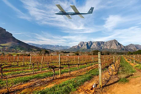
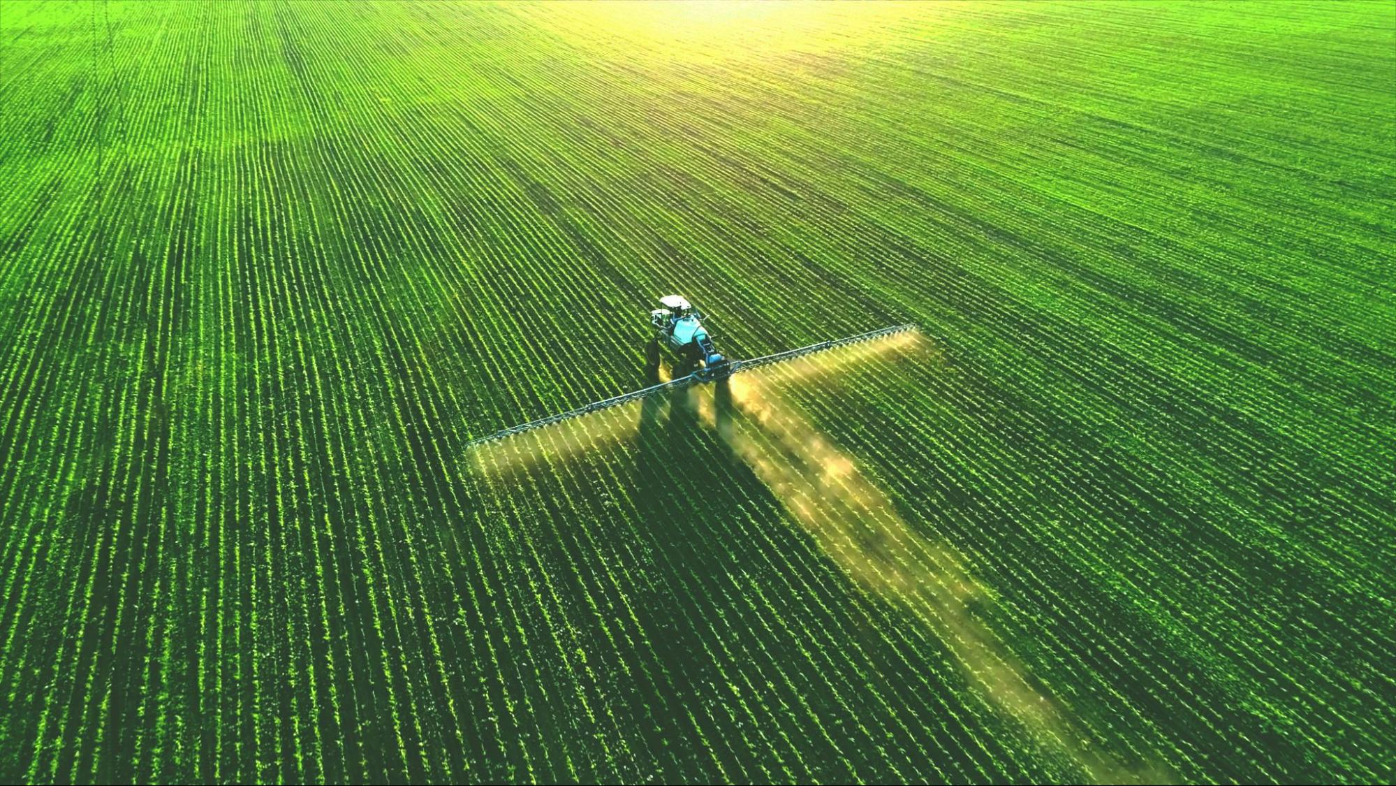
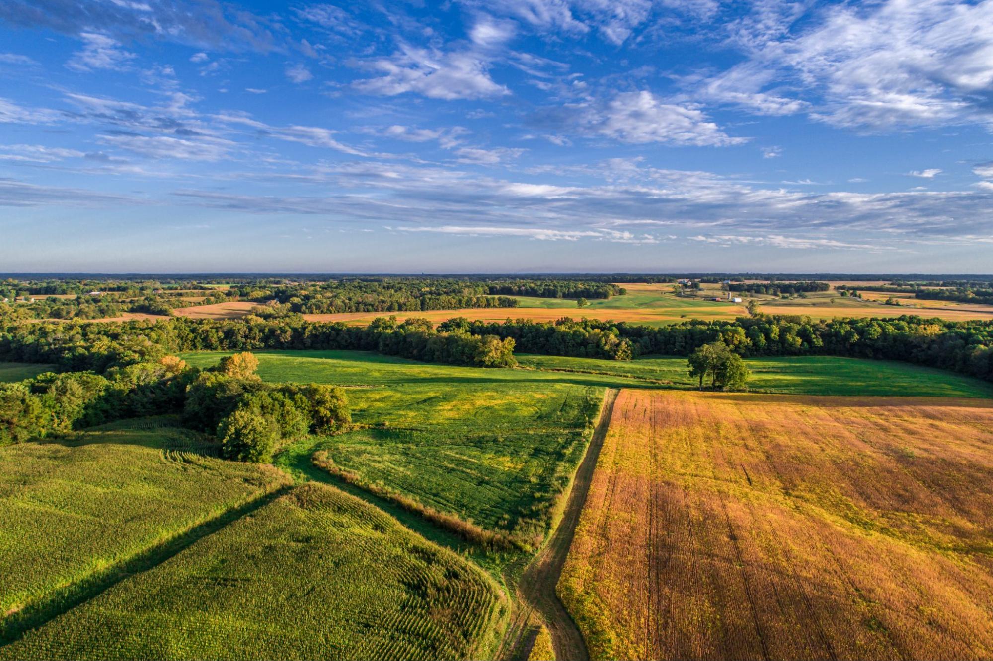
SolarXOne is the ideal airborne platform for agricultural applications such as vineyard mapping or providing crop vigour analysis.
Multi-purpose system
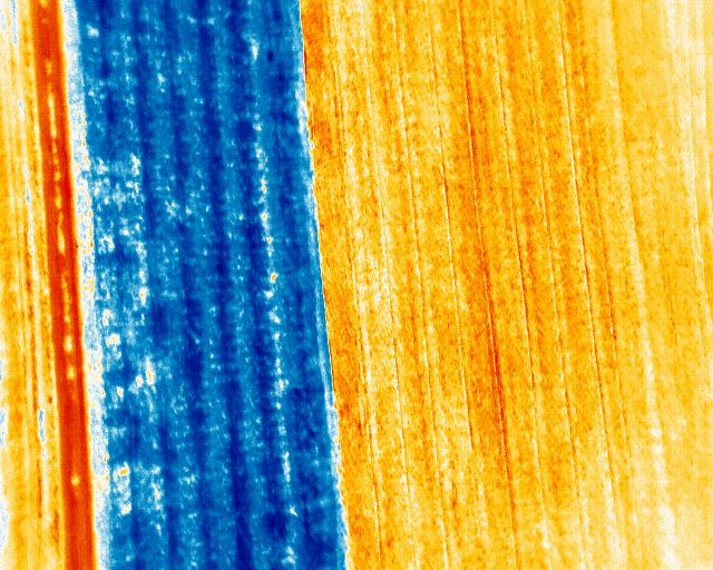
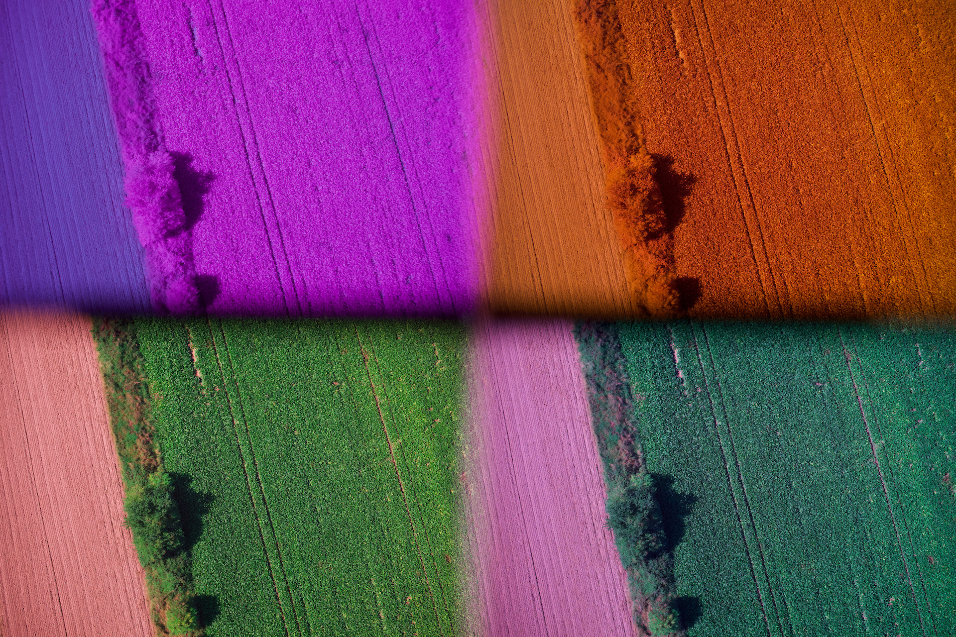
Capturing high resolution imagery in the visible spectrum as well as in NIR or using a multispectral sensor, our UAV is the ideal airborne platform for agricultural applications such as vineyard mapping or providing crop vigour analysis in large fields.
Different options for sensors are available including for wide area livestock monitoring. Real-time HD video feed to base provides situational awareness and enables rapid intervention to be applied to the site of a critical event.
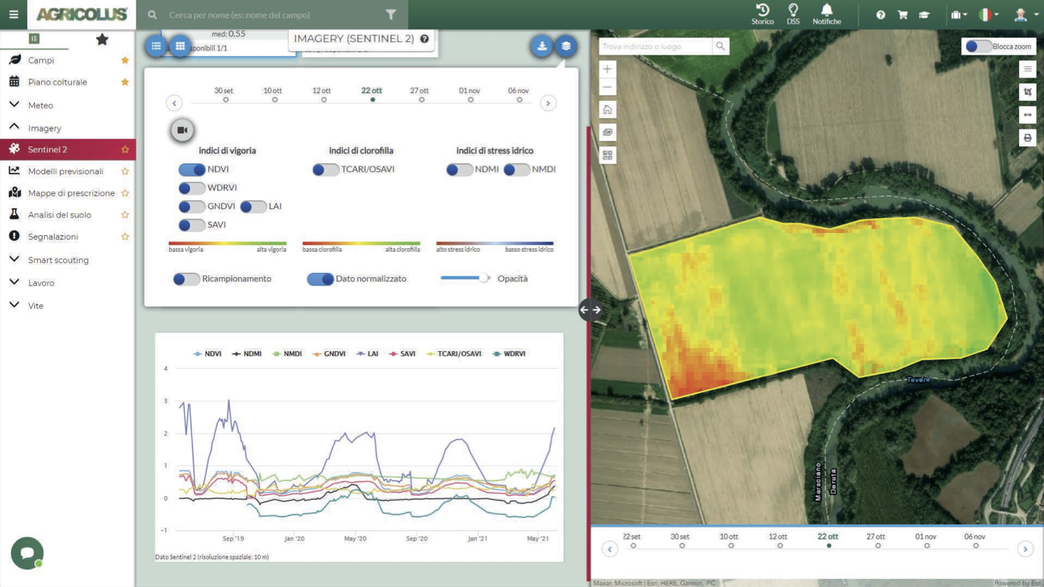
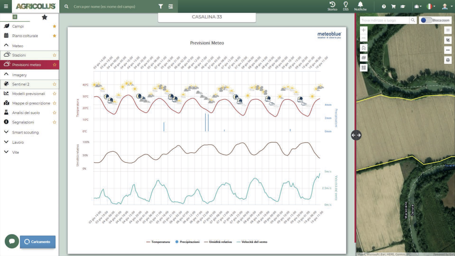
- Accurate mapping / resolution up to 5mm - Indices of vegetation, vigor, chlorophyll, water stress - Accurate 7-day weather forecast, hydrographic, phenological (130 crops) and nutritional forecasts - Models and forecasts of diseases on vines: mildew, insects (Eudémis de la vigne), Gray mold disease - Crop damage, frost forecast - Geolocation of data on portable applications
Strong resolution, strong endurance
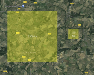
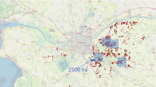
- Ability to cover up to 2,500 ha per day
- Multi payload / multi-missions PHASE ONE up 150Mpx - SONY A7R4 60Mpx SONY A7R4 AGROWING 4 bands LIDAR VUX-120
Download all information about Agro-Tech application